跳到页面主要部分
旅游产品
旅游产品
旅游产品
住宿
住宿
机票
机票
租车
租车
套餐
套餐
旅游活动
旅游活动
游轮
游轮
优惠
打开 App
USD
•
上架您的房源
帮助中心
行程
Communication Center
登录
通过会员价解锁折扣立减
登录
了解 One Key 计划详情
我要提建议
亚洲
岩美郡
鸟取县
日本
亚洲
计划您的旅行
岩美郡酒店
岩美郡度假短租
岩美郡 机票
岩美郡旅游活动
岩美郡租车服务
岩美郡度假
岩美郡
鸟取县
岩美郡
岩美郡
岩美郡
岩美郡
岩美郡
5
查看全部 5 张照片
开始
结束
住客
搜索
岩美郡热门城市
岩美町
以岛屿和海滩而闻名
岩美町的岛屿风光、海滩等着您来体验!
魅力景点
岩井温泉
浦富海岸
探索城市
查找酒店
住在岩美郡热门景点附近
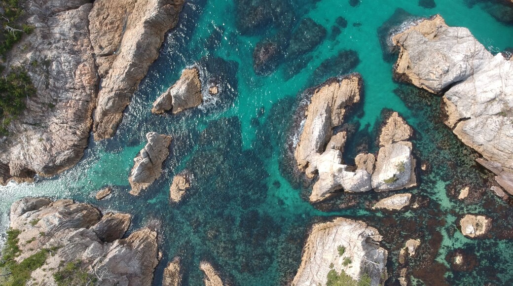
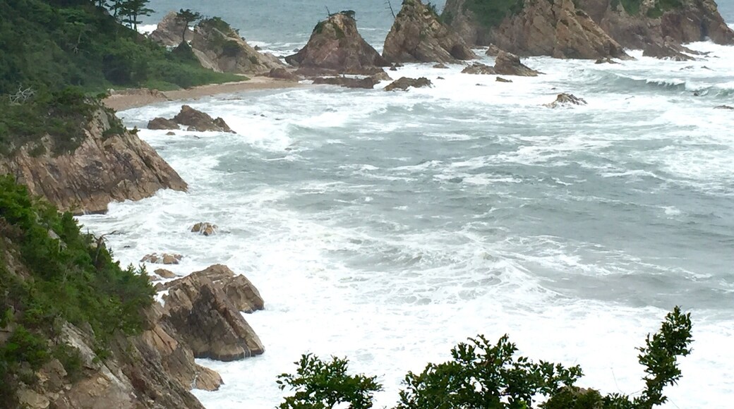
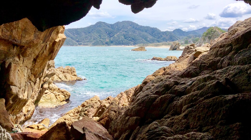
浦富海岸
岩美町之旅期间,何不前往浦富海岸度过一个悠闲的下午?前往花园及周边逛逛,或体验这里的博物馆。
收起
查看住宿
浦富海岸
8.6/10(18 条点评)
如果想要一段悠闲的假期,岩美町之行里可少不了浦富海岸。
收起
查看住宿
鸟取县水产合作网络
8.0/10(1 条点评)
前往鸟取县水产合作网络稍作停留,学习关于岩美町的历史。 探索当地的沙漠景观和温泉。
收起
查看住宿
菜种岛
10.0/10(1 条点评)
岩美町之旅期间,前往菜种岛与大自然亲密接触,体验户外活动。探索当地的沙漠景观和寺庙。
收起
查看住宿
上一个
下一步
借助 Expedia App 走得更远
节省更多 - 使用 App 预订精选酒店最多可优惠 20%。我们的 App 优惠可帮您节省旅行费用,让您尽享更多旅行并随时随地管理行程。
使用设备上的相机扫描二维码,下载我们的 App
b978e74d-2af3-4ad7-b7b0-327ab88ea8a0
f726e875-0c2a-461a-9c9f-cb550d092392