

GOLDEN SHORES WHERE THE ROAD MEETS THE OCEAN
About
A land of desert,
mountains,
and surf
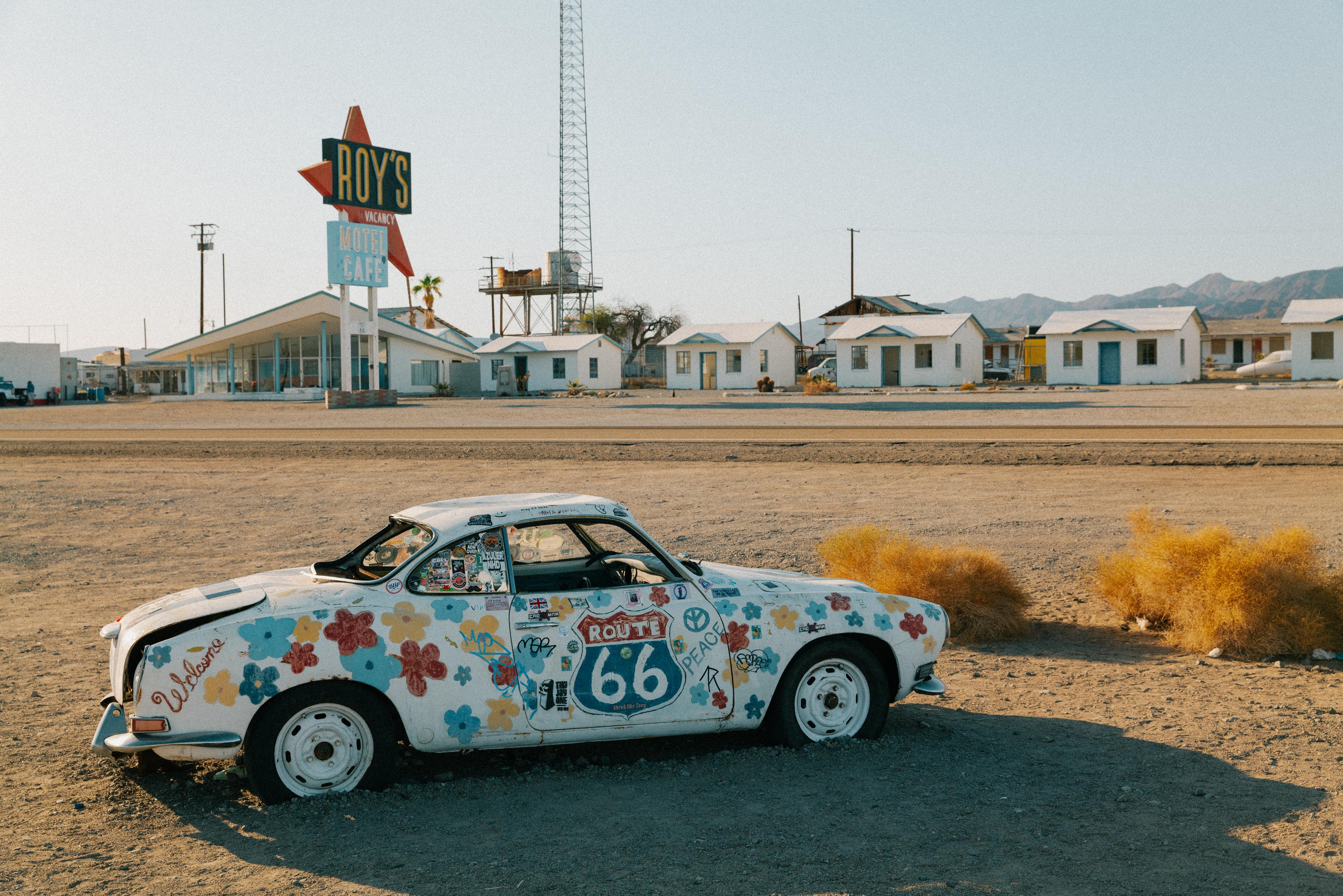
California is the last state on the road, and the first thing it asks is that you cross the Mojave. From the Colorado River, the highway runs west through desert towns that exist because the railroad needed water stops there, then climbs over Cajon Pass and drops into the Los Angeles basin.
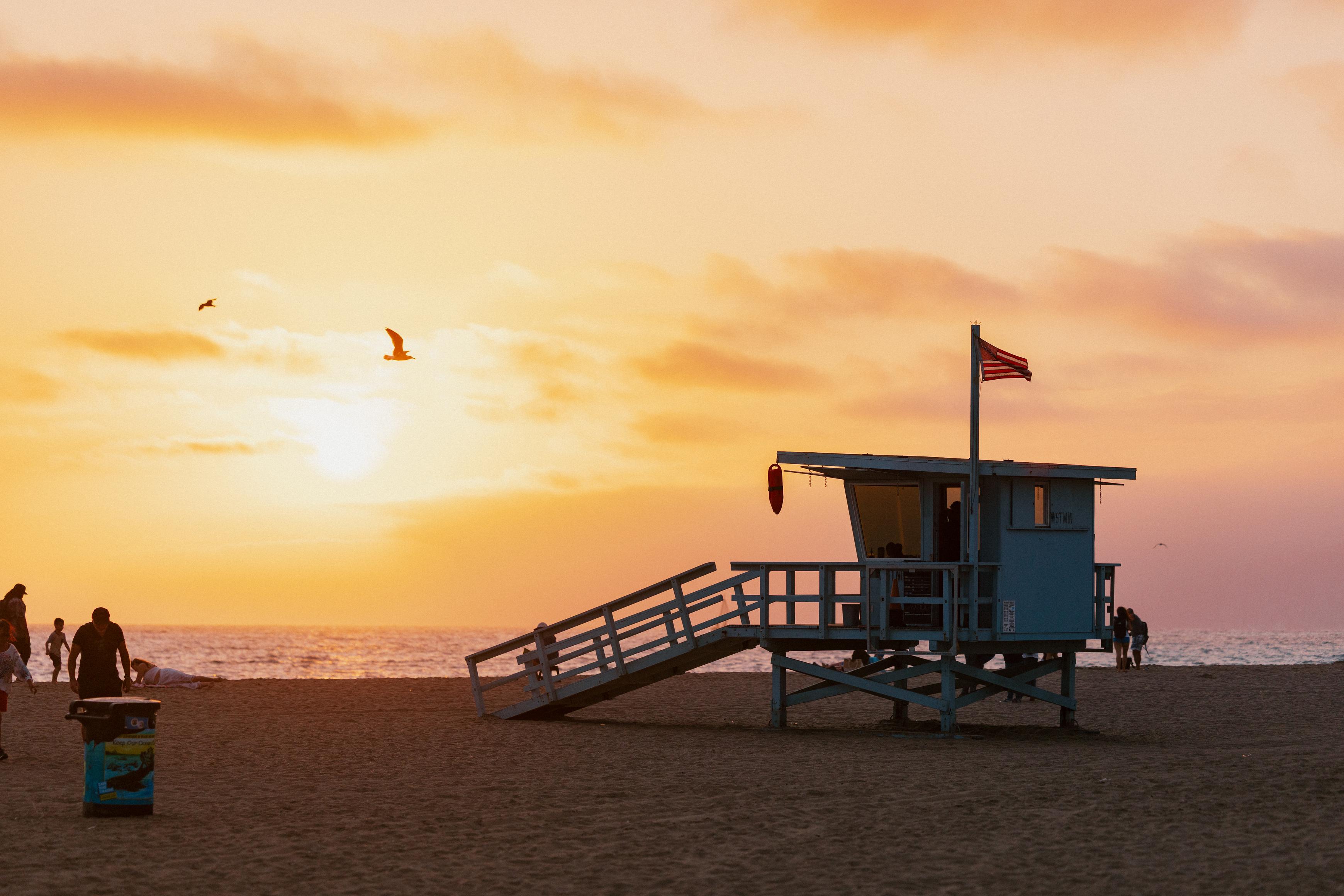
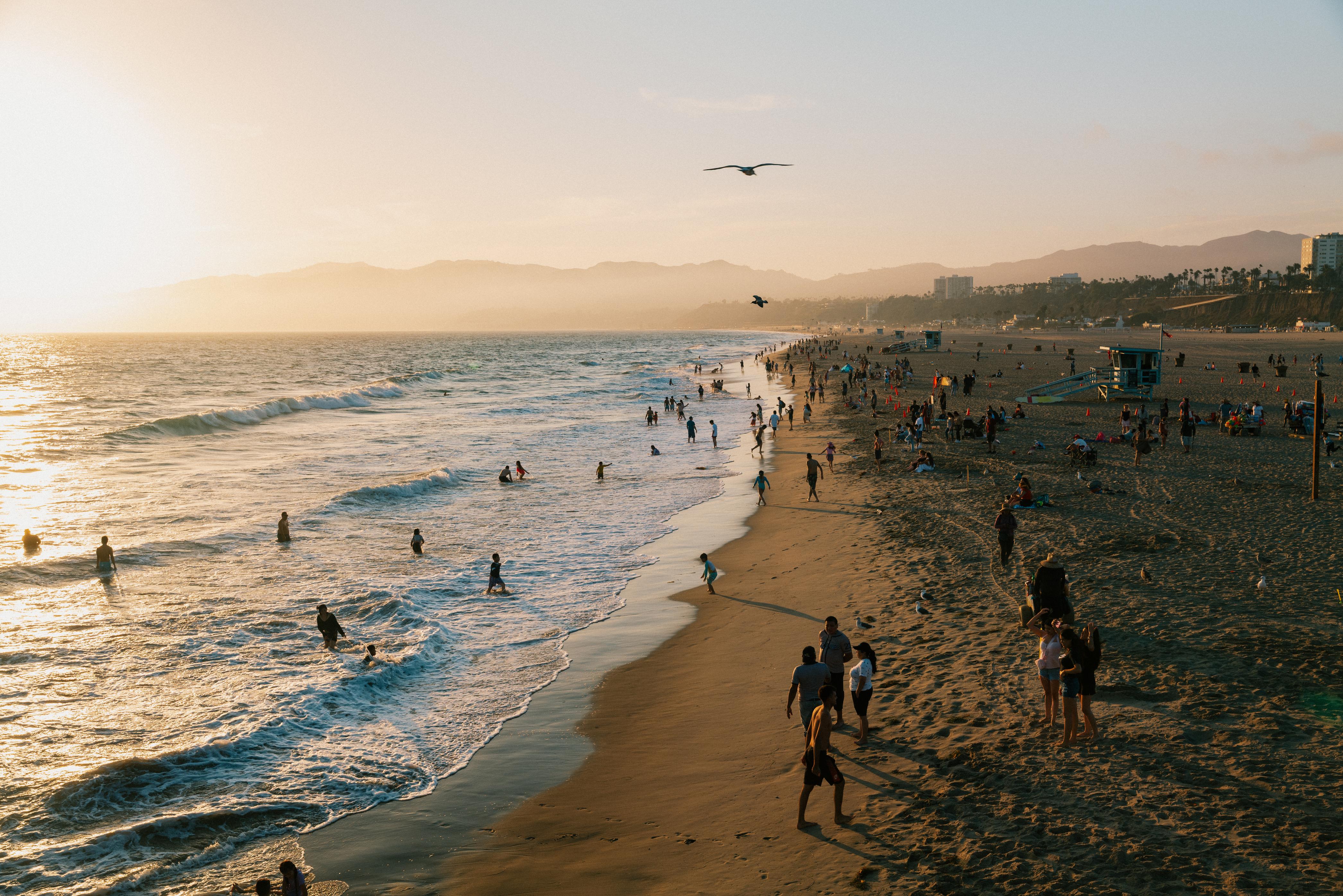
The finish line has moved around. Until 1936, the road stopped in downtown Los Angeles. After that it ran on to Santa Monica, where the official end is a mile inland at Lincoln and Olympic. Officially or not, this is where the drive ends: 2,448 miles from Chicago, with nothing in front of you but water.


Roadside stories
The diner
with a giant
penguin
A museum
inside a
1911 depot
Waves
at the end of
the route
Loved
books and
old records
Red and green
canyon walls
Stretch your legs

The diner
with a giant
penguin
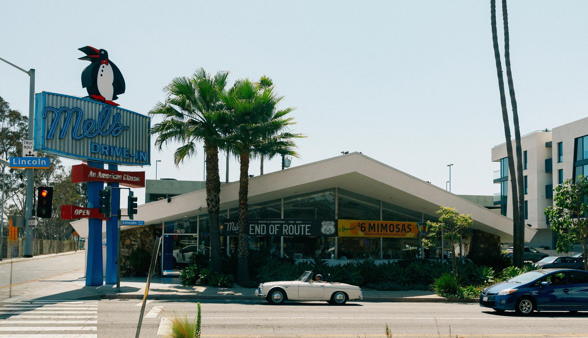
Mel’s Drive In
At the true Route 66 terminus at Lincoln and Olympic, a giant penguin stands watch over one of Santa Monica’s best-preserved roadside diners. The 1959 building began as the Penguin Coffee Shop, hence the sign, and later spent years as a dental clinic before eventually being restored as Mel’s Drive-In in 2018. Post up on a counter stool for a burger or malt while admiring the Googie-style neon and space-age angles designed to attract motorists as they arrived at the westernmost end of Route 66.
A museum
inside a
1911 depot
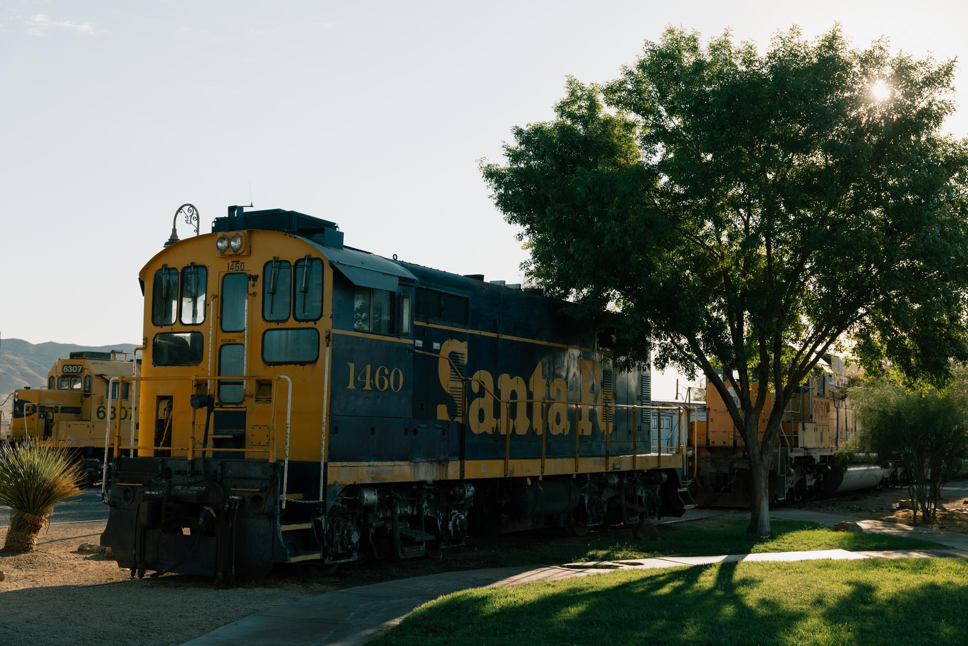
Western America Railroad Museum
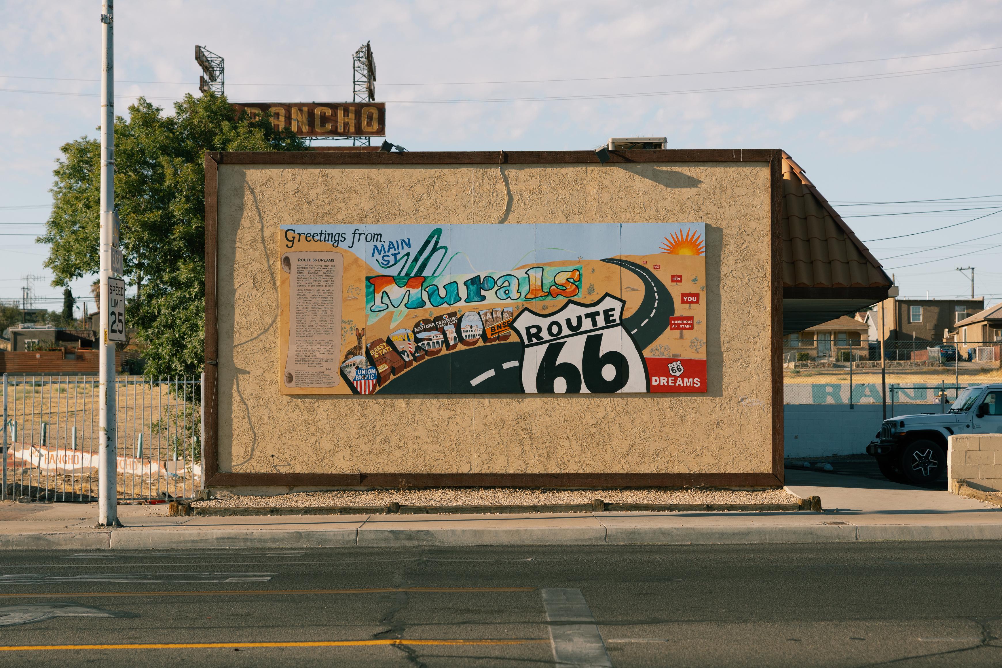
Barstow was built around the railroad, and the Western America Railroad Museum tells that story from inside the city’s historic 1911 Harvey House train depot. Exhibits range from uniforms, tools, and timetables to full-size train cars, including two cabooses. It’s usually open from Friday to Monday and sits next to the Route 66 Mother Road Museum for a great two-in-one stop.
Waves
at the end of
the route
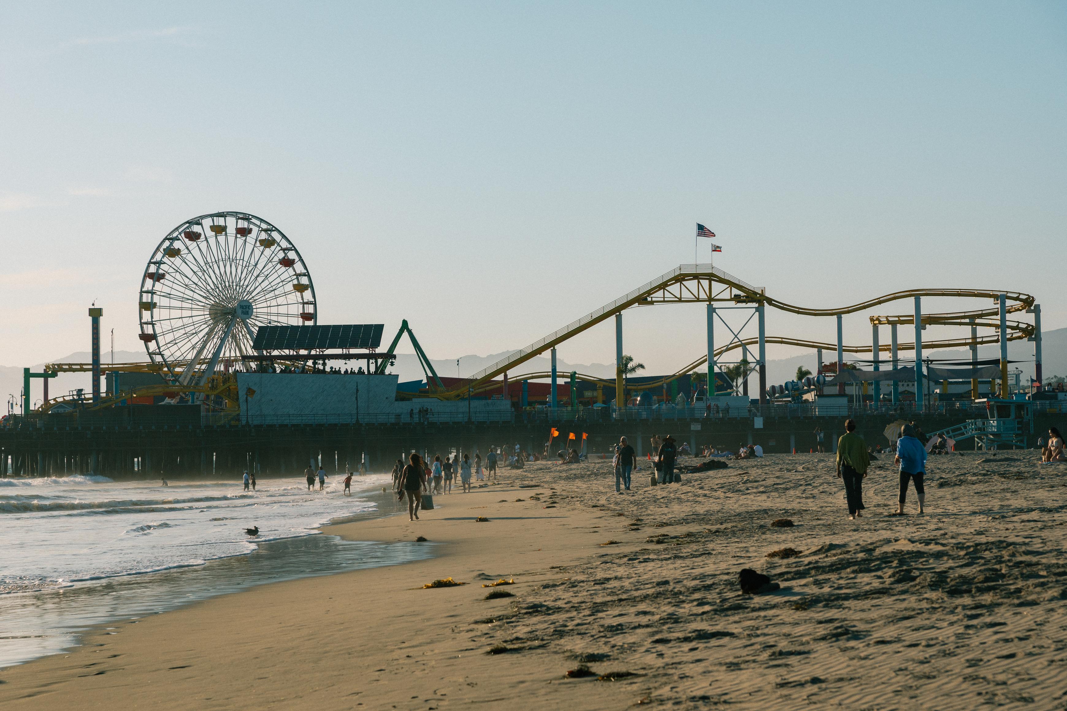
Santa Monica Pier
Route 66 ends at the Pacific with one stop: the Santa Monica Pier, where an "End of the Trail" sign makes the spot official. The sign went up in 2009, and the road's true terminus is a mile inland at the intersection of Lincoln and Olympic, but the pier is where the drive feels done. The pier has reached into the bay since 1909, when it was built to carry the city's sewer pipe offshore. Today, it holds Pacific Park, a solar-powered Ferris wheel and a historic carousel.
Loved
books and
old records

Angel City Books
Angel City Books is Santa Monica’s last independent bookstore, giving the route a rare literary stop near the western end of Route 66. It buys, sells, and trades used, rare, and vintage books, as well as classic rock and jazz albums. Give them a call if you’re looking to sell (or looking for one special book in particular), but otherwise, swing by to browse the packed shelves to see a side of Santa Monica beyond the beach and pier. In true old-school fashion, sales are in person only.
Red and green
canyon walls
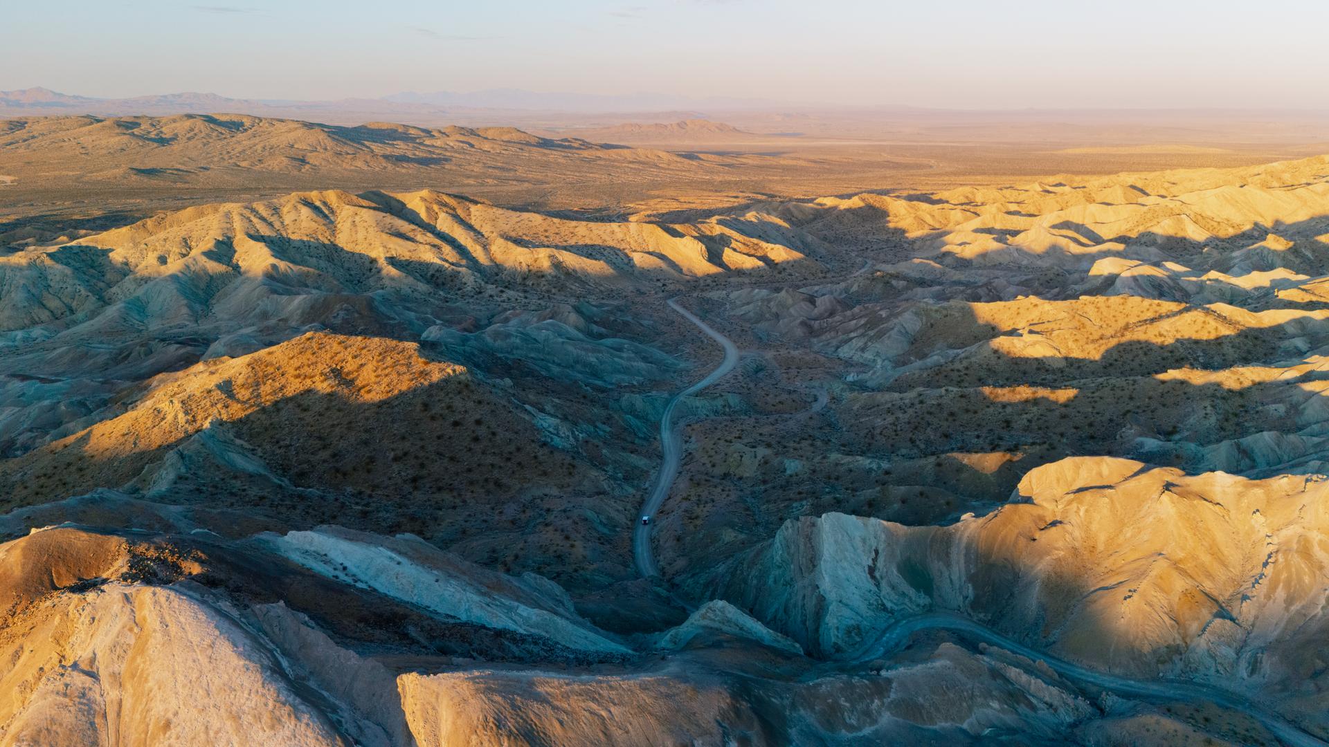
Rainbow Basin Natural Area
Rainbow Basin is a federally managed natural area about 8 miles north of Barstow, known for hills and canyon walls layered with red, green, gray, and tan sedimentary rock. Visitors can hike through sandy washes and narrow canyons or drive along the Fossil Canyon Loop Road for a closer look at the formations. The dirt road is narrow and rough in places, so high-clearance vehicles are recommended. Admission is free, but facilities in the basin are limited, so bring everything you’ll need (including drinking water).

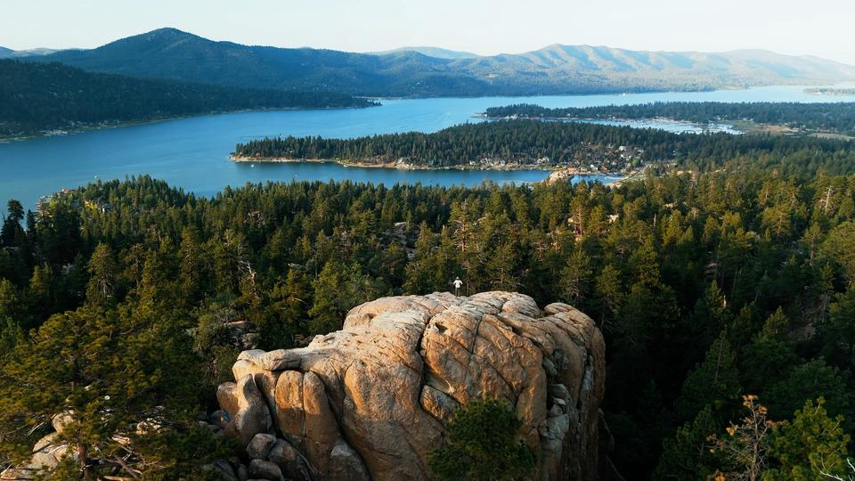

Detour
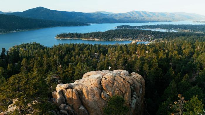
Big Bear
Big Bear is a mountain town at about 6,700 feet, with a lake, pine forest, and fresh air above the nearby desert. Film crews have been coming up here since 1911, and the valley has stood in for Atlanta, Texas, and for itself. Trails climb to granite outcrops above the lake, and a dirt loop north of town runs past the pits and ruins left by an 1860s gold rush.

Detour
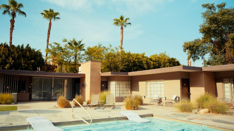
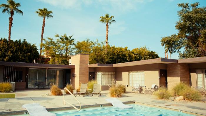
Palm Springs
Palm Springs grew up around a hot spring the Cahuilla have used for thousands of years, and it still runs through the plaza at the Agua Caliente Cultural Museum, which the tribe opened in 2023. The town is at the foot of a mountain, and a tram climbs almost 6,000 feet up it in minutes into pine forest much cooler than the valley. On the way in, wind turbines fill the San Gorgonio Pass by the hundred, spinning above the desert floor.
