

GOLDEN PRAIRIES UNFOLDING MILE AFTER MILE
About
A state where three borders meet
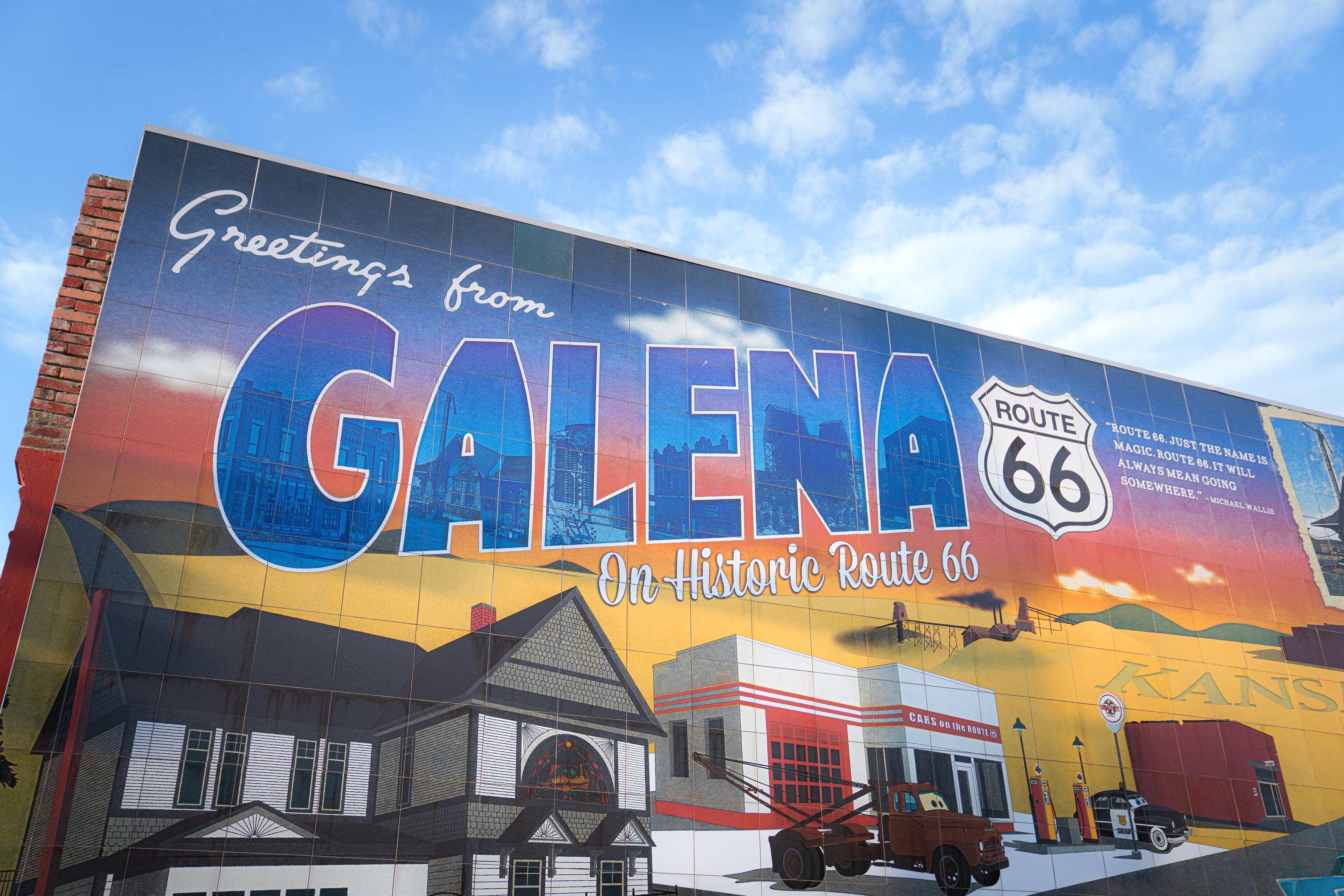
Kansas gets 13 miles of Route 66, and they run across the very bottom corner of the state. Galena and Baxter Springs were already here when the road arrived in 1926. Galena had grown up around lead and zinc mining, and Baxter Springs had been a stop for cattle drovers heading north. The new highway put both towns on a map that ran all the way to California.
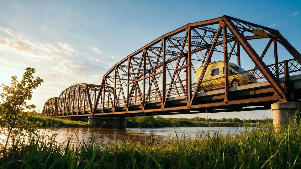
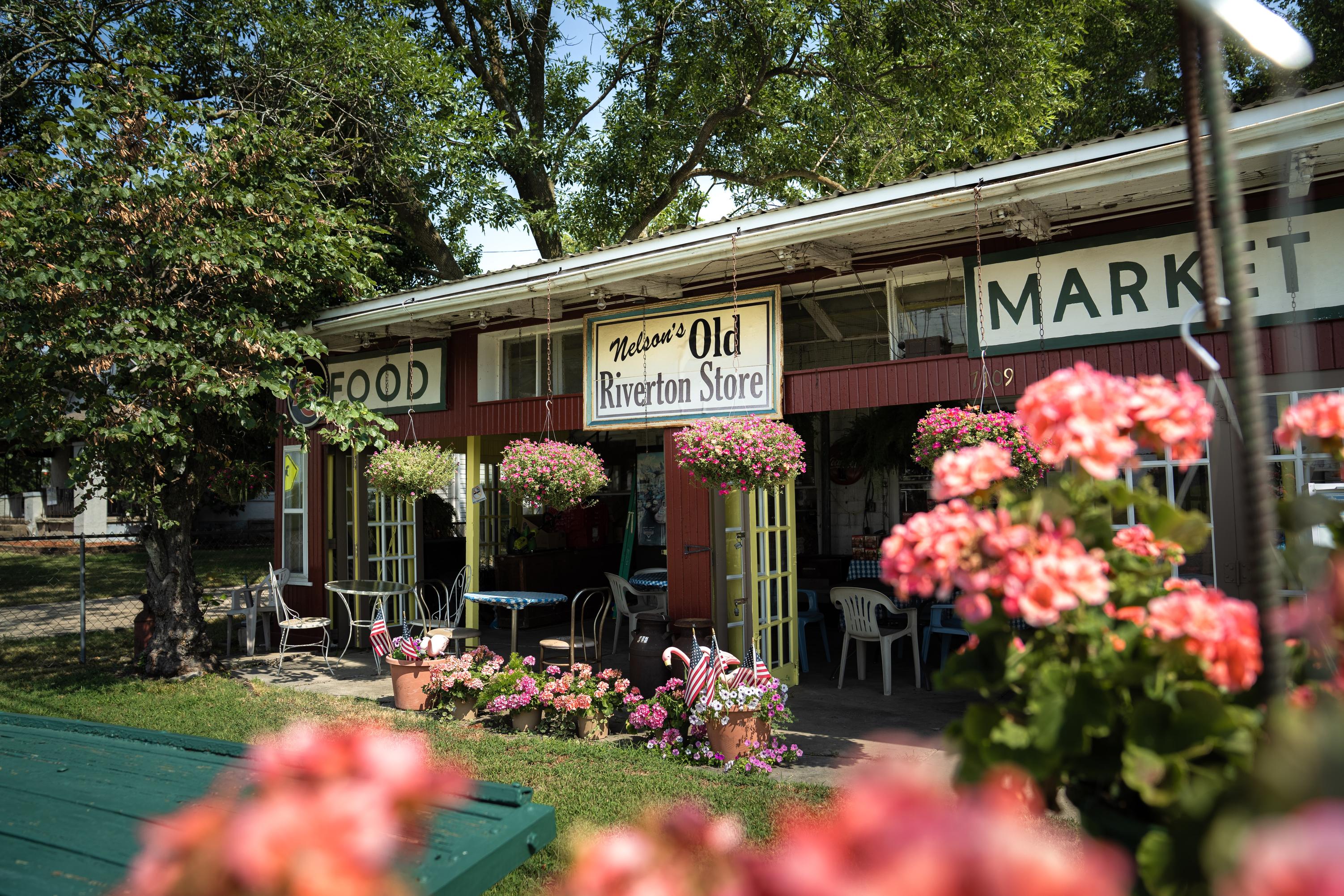
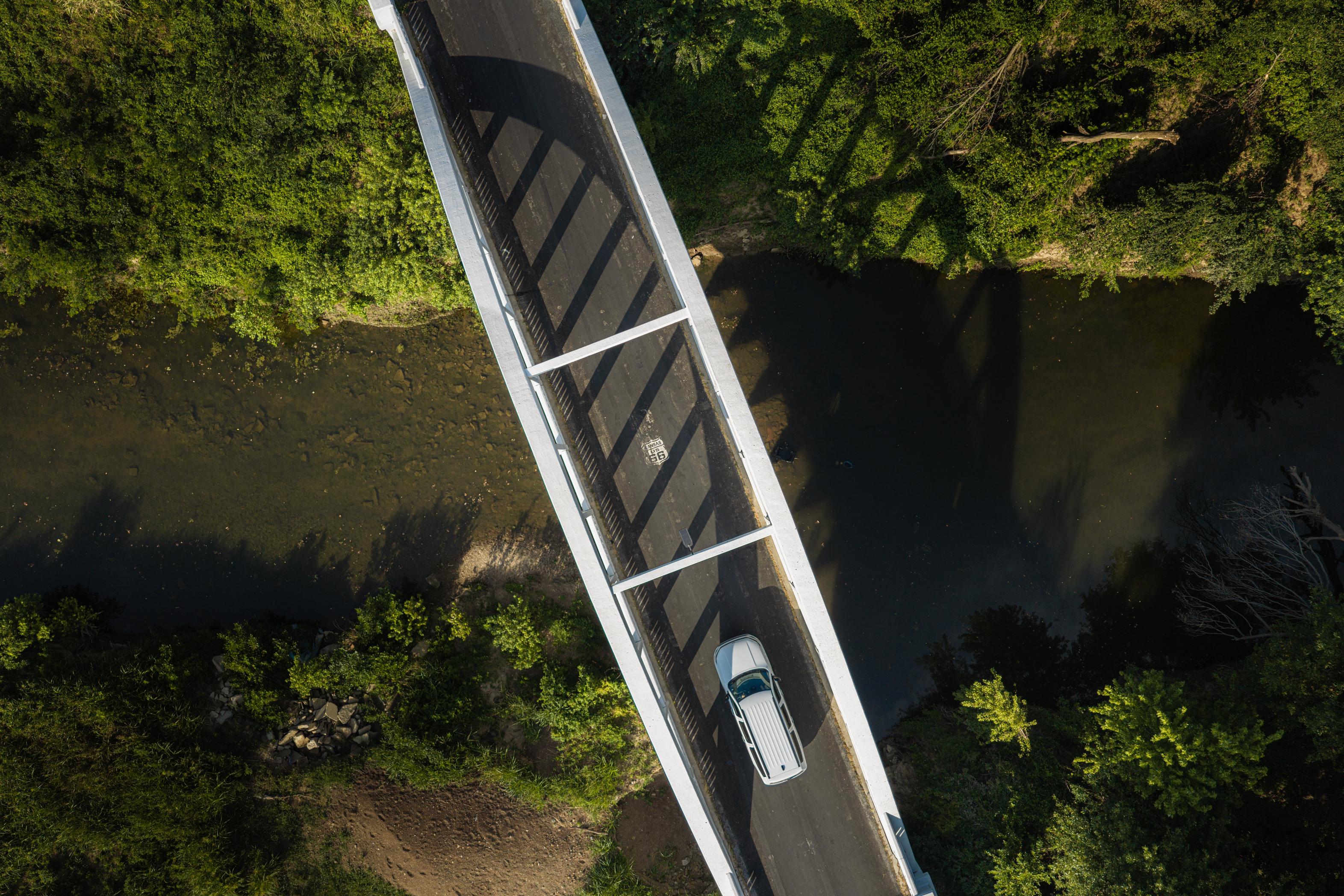
Almost all of that original road is still drivable, and the landmarks along it are close enough together to cover in an afternoon. A 1923 arch bridge outside Riverton is the only bridge of its kind left on Route 66. A 1934 filling station in Galena still pours coffee and sells souvenirs. And a gravel road leads to where Kansas, Oklahoma, and Missouri meet.


Roadside stories
The tow
truck behind
Tow Mater
Something
sweet in an old
mining town
A peek into
1930s Kansas
The only
Ozark corner
in Kansas
Standing in
three states
at once
Stretch your legs

The tow
truck behind
Tow Mater
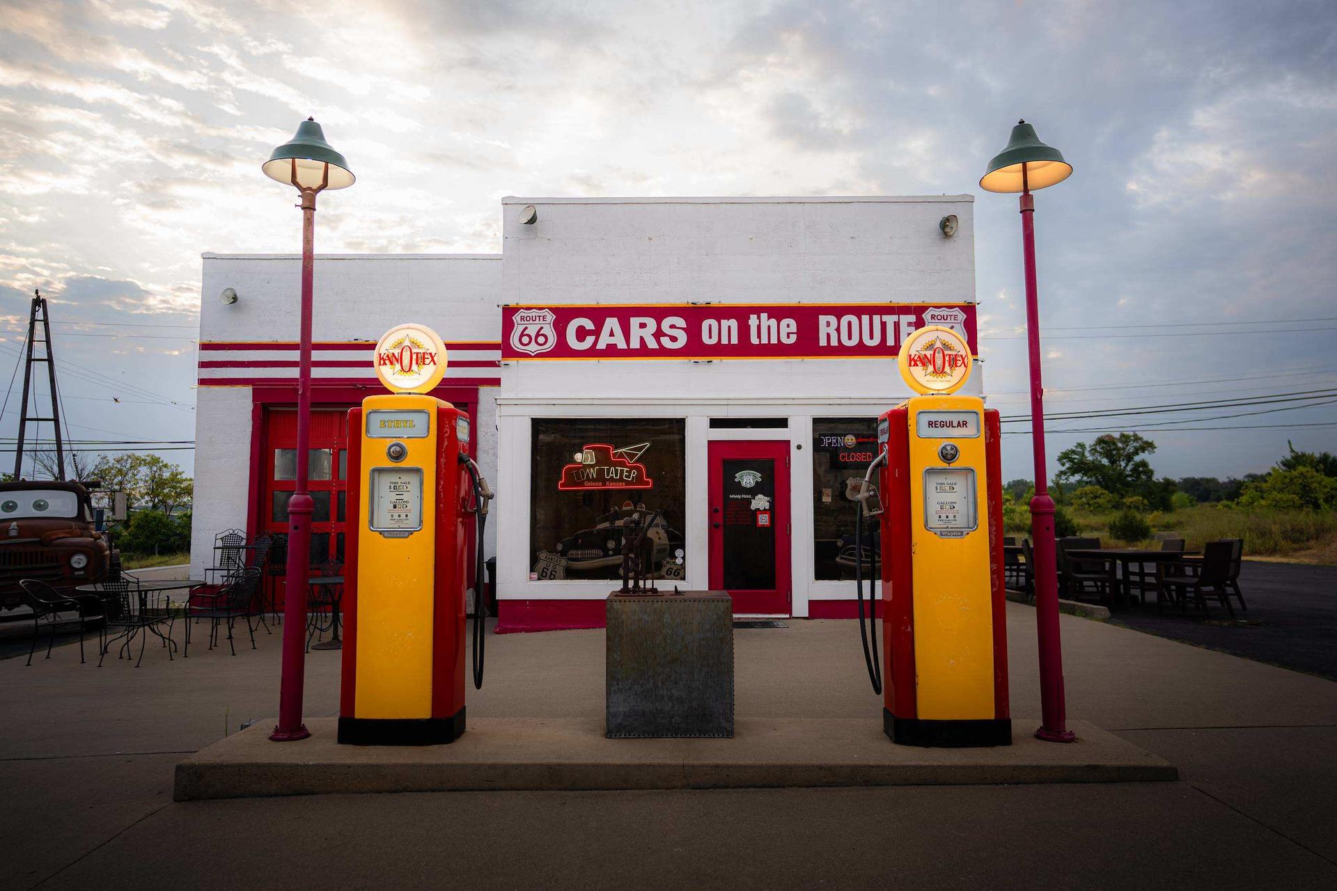
Kan-O-Tex Station (Cars on the Route)
This corner gas station opened in 1934 as a Kan-O-Tex. By the 2000s it had fallen derelict until four friends bought and restored it. A rusted 1951 International boom truck they parked out front caught the eye of the Pixar crew scouting the road, and it became the model for Tow Mater in “Cars.” Renamed “Cars on the Route,” the station now pours coffee and sells souvenirs, with the old tow truck still holding down the lot for photos.
Something
sweet in an old
mining town
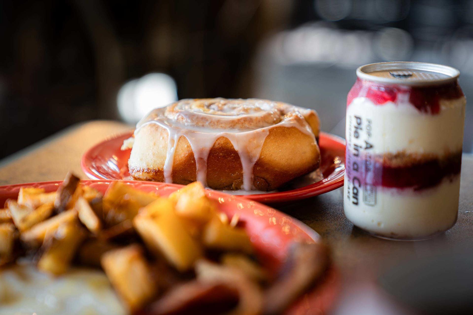
Sugar Creek Diner & Bakery
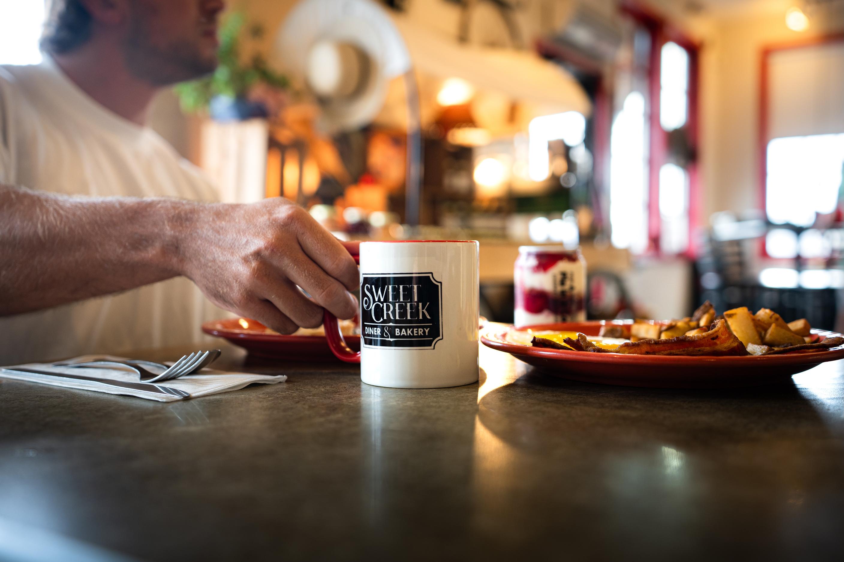
In a town of a few thousand, this small diner handles what travelers want on the short Kansas leg: eggs and biscuits in the morning, and cinnamon rolls and pie from the bakery case for the rest of the day. It's a plain, friendly stop in Galena, the old mining town that anchors Route 66's 13 miles in Kansas, and an easy pull-over before the run out to Schermerhorn Park or the tri-state line.
A peek into
1930s Kansas
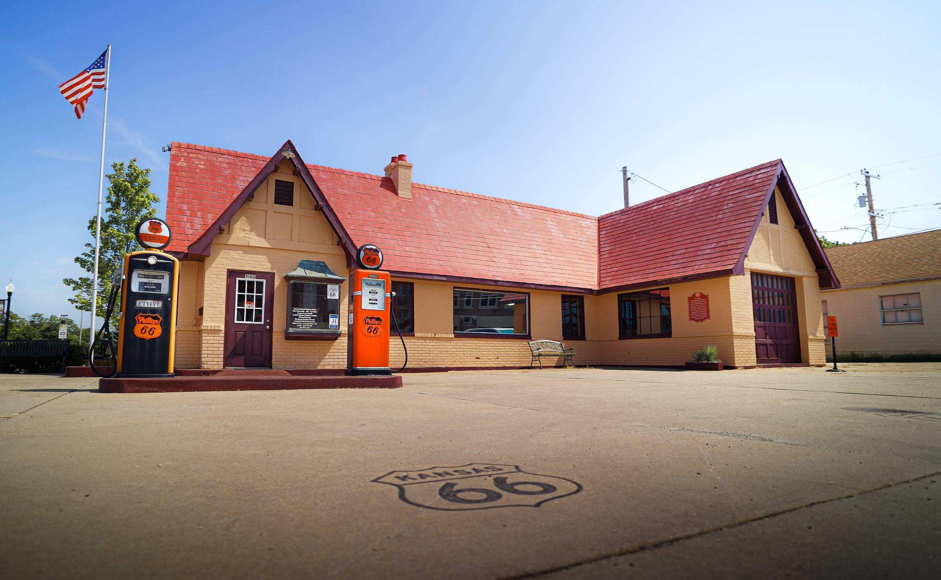
Kansas Route 66 Visitor Center
Baxter Springs restored this 1930 cottage-style filling station, with its steep roof, canopy and pair of gas pumps out front, and made it the state's Route 66 visitor center. Stop for maps, local tips and a photo, then walk the main street of a town that bills itself as the first cow town in Kansas: after the Civil War, drovers trailed Texas longhorns up the Shawnee Trail to Kansas City stockyards, then shipped them east once the railroad came through.
The only
Ozark corner
in Kansas
Schermerhorn Park
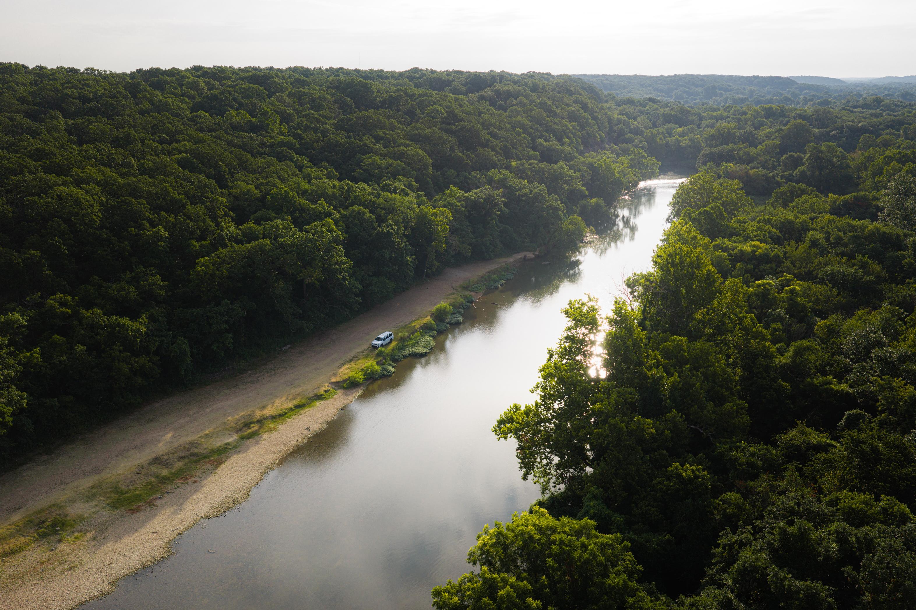
Edgar Schermerhorn gave this land on Shoal Creek to Galena in 1922, and Route 66 travelers were soon stopping to cool off in the creek. The park holds the only piece of the Ozark Plateau in Kansas, and a spring that supports some of the state’s rarest wildlife—including three salamanders on the Kansas endangered list—runs out of Schermerhorn Cave. WPA crews terraced the slopes in stone in the 1930s. Head to the Southeast Kansas Nature Center at the gate to learn more about what lives here.
Standing in
three states
at once
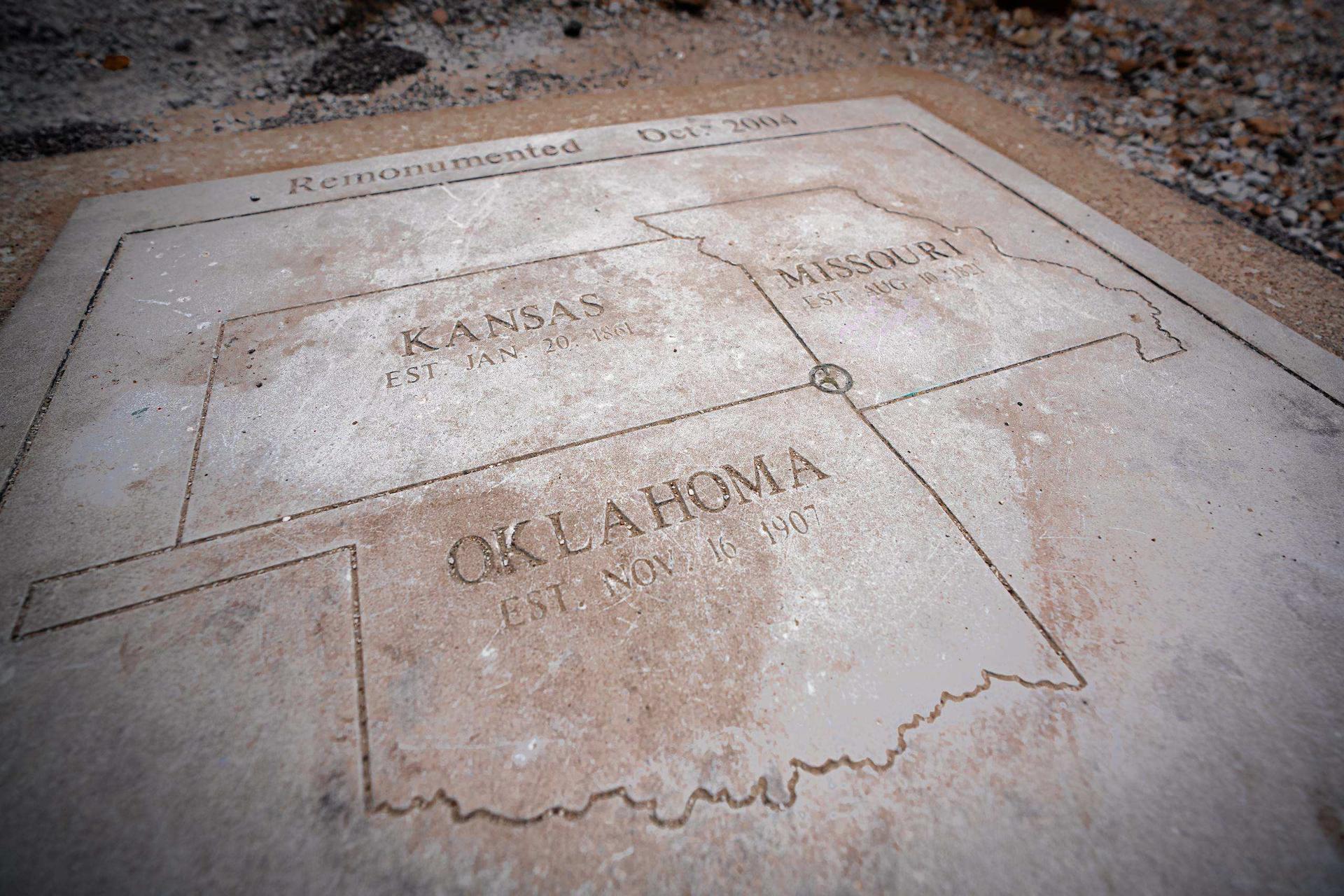
The KS-OK-MO Tristate Monument Marker
Just off Route 66 near Galena, a gravel dead-end road runs out at the point where Kansas, Oklahoma, and Missouri meet, one of the few spots where you can stand in three states at once. A survey crew fixed the spot in 1857 after months of slow going through timber and high water, and in 1938 the National Youth Administration built a stone cairn to mark it. A ground plaque 50 feet east marks the true tri-point. It's free and open around the clock, though the final gravel turn is easy to miss.

